History Of Birkenhead
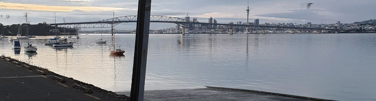
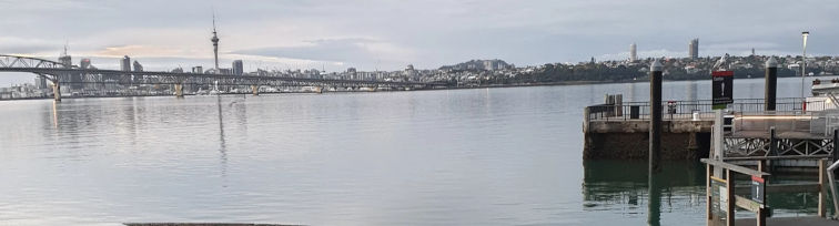
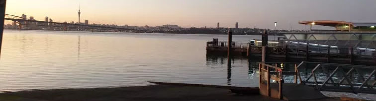
BIRKENHEAD, North Shore, Auckland – the home base for Aratika Water Sports Club Inc
A number of iwi occupied the shoreline and waters of the upper reaches of the Waitemata Harbour for their rich fisheries. Te Kawerau a Maki, Nga Tai, Ngati Paoa and Ngati Whatua were recorded as the main occupiers during pre European times and they particularly coveted the prolific shark fishery sourced close to Te Matarae o Mana (Kauri Point).
Close to today’s Chelsea Sugar Works and just off Kauri Point, are several small rocks in the harbour channel. It was at one of these rocks, Te Mataa ( Boat Rock) that Tamatekapua the chief of the Arawa Waka observing a large school of shoaling fish at the island, took this to be a tohu or sign, placed a sacred rock brought from Hawaiki, called Te Mataa, on to it. Thus naming the waters, Waitemataa.
West of Kauri Point is a particularly challenging stretch of tidal waters for paddling. It is known as Wairoria (the swirling waters) in recognition of its characteristics.
Opposite Kauri Point reaching over two thirds of the way across from the Point Chevalier shore line is the reef called Te Tokaroa ( Meola Reef). According to folk lore one hapu of patupaiarehe (night dwelling fairy folk) fleeing from another warring hapu ,hastily began building a rock causeway to cross the harbour to Te Raki Pae Whenua( the north shore) and make their escape. In their pre occupation, they did not see the coming dawn and perished in the sun’s light. Their skeletal remains formed the ridges of the reef. Two streams flow out either side of this reef, Waiateao ( Teao’s water/Motions Creek) and Waititiko ( waters of the periwinkle/Meola Creek). Where these two waters meet in the harbour is known as Te Hononga o Nga Wai (the joining of the waters) and is another challenging stretch of water to navigate.
At the southern connection of the Harbour Bridge is the reef known as Te Routu o Ureia (Ureia’s comb/Point Erin), so called because Ureia a taniwha/whale who resided in the Hauraki ,used this reef to itch his irritations.
Adjacent to the Harbour Bridge just off Point Erin is the gradually eroding Watchman’s Island. It was earlier known as Motu Ngaengae (cockle Island) after the species of shellfish found there.
On the northern connection of the bridge is Te Onewa (Stokes or Northcote Point) named after the grey stone rock type of its foreshore. It was also known as Te Totaratahi ( the single totara) which identified the prominent feature on the cliff. It was felled during the late 1800’s , with local Maori planting a commemorative totara in 1908 which sadly too was felled in the 1950’s to make way for the Bridge development.
Either side of this point is Shoal Bay and the lesser of the two, Little Shoal Bay (Te Onewa). The very tidal waters of Shoal Bay on the north eastern side of the Motorway was heavily occupied and around it’s shoreline are many places named by the early Maori because of their main feature or significant event . Waimana (Prestigious Waters/Sulphur Point) Awataha (Waters flowing along side/Northcote) Ngautaringaringa (the sacred fingers of a chief bitten by a child/Bayswater) are but a few of the many ,that are still remembered.